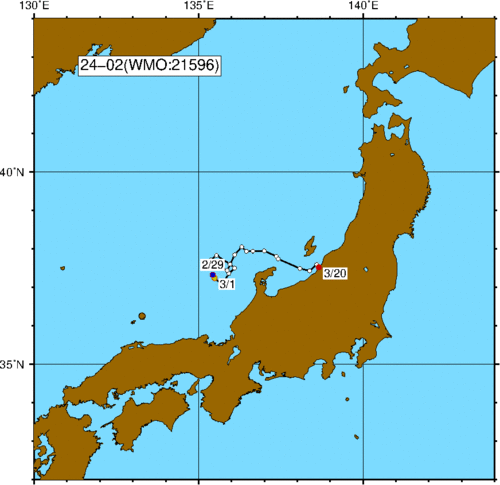
Observation data and track chart for the buoy No.24-02. For details of data, plsease refer to the format description file (PDF FILE[13kB]).
Track Chart
Each circle indicates the daily position of the buoy. Yellow circles show the locations at the first day of each month. The blue and red circles show the locations at the start and end of observation, respectively. The five-digit number following "WMO" is a station index number assigned by the World Meteorological Organization.
All PDF files in this page require Adobe Reader to view.
Please download this software by clicking the left icon, if you do not have.