JMA operates drifting ocean data buoys. The buoys are equipped with sensors near the sea surface level to measure positioning, air pressure, sea surface temperature and wave height/period.
Each buoy is identified by a code in the format of "yy-nn", where yy represents the year of deployment and nn the consecutive number assigned in order of deployment during the year.
You can view the trackline of each buoy by pointing to the buoy code listed on the right of the figure. Click on the buoy code to see its data.
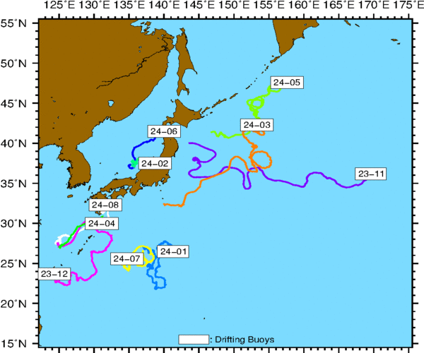
Track chart of buoys (in 2024)