Miyakejima
(Izu Islands, Japan)
Lat.: 34°05'37"N
Lon.: 139°31'34"E
Summit Elevation: 775 m
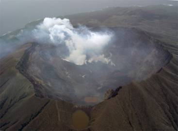
The caldera formed by the 2000 eruption.
Photo by JMA on Apr. 18, 2002.
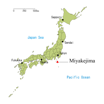
Miyakejima is a volcanic island in Izu Islands about 180km SSW of Tokyo.
Eruptions occurred historically at the summit and the flank of the mountain accompanied by lava flows.
Phreatomagmatic eruptions tended to occur along the coast. The lava flow at the eruption in 1983 buried Ako Village,
the largest one in the island. In 2000 eruption, a summit caldera was formed after an absence of 2,500 years.
At the eruption, massive volcanic gas was emitted from the summit and all islanders were evacuated from the island.