Kuchinoerabujima
(Ryukyu Islands, Japan)
Lat.: 30°26′36″N
Lon: 130°13′02″E
Summit Elevation: 657 m
Lon: 130°13′02″E
Summit Elevation: 657 m
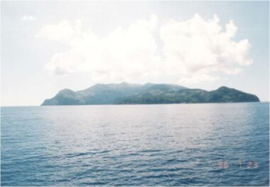
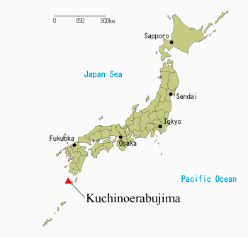
Kuchinoerabujima is a volcano island in Satsunan Islands, Japan, about
120 km SSW of Kagoshima city (about 1,100 km WSW of Tokyo). Recent activity
has occurred at two composite volcanoes, Shin-dake and Furu-dake. Phreatic
explosions and Vulcanian eruptions have occurred at Shin-dake in historical
record, that is after 1841, and were accompanied with mud flows frequently.
Eruptions with pyroclastic flows occurred at Furu-dake about 200 years ago.